New Satellite Imagery Reveals Shifting Patterns in Strait of Hormuz Maritime Traffic

Researchers use time-lapse video to analyze changes in ship movement through a strategic global chokepoint - the Strait of Hormuz. Implications for global trade and geopolitical tensions are explored.
Satellite technology is providing an unprecedented window into the ebb and flow of global maritime traffic, with a recent timelapse study offering insights into shifting patterns in one of the world's most strategically important waterways - the Strait of Hormuz.
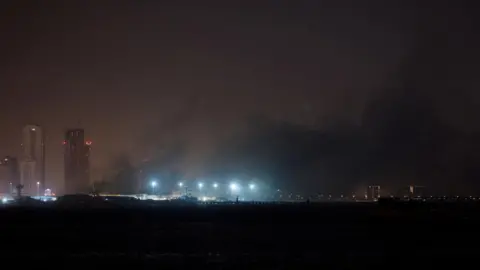
The analysis, conducted by a team of geospatial experts, utilized high-resolution satellite imagery to track the movement of ships through the narrow strait separating the Persian Gulf from the Gulf of Oman over an extended period. The results reveal a notable decrease in the overall volume of marine traffic traversing this critical global chokepoint.
"What we're seeing is a clear reduction in the flow of ships through the Strait of Hormuz," said lead researcher Dr. Emily Walters. "This is a significant finding given the Strait's crucial role in global energy markets and international trade."
The Strait of Hormuz is one of the world's most important maritime chokepoints, with an estimated 21 million barrels of oil per day - roughly a fifth of global oil consumption - passing through its narrow waters. Any disruption to shipping traffic through the Strait could have major economic and geopolitical implications.

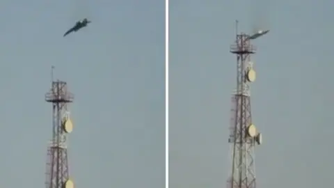
Researchers attribute the observed decline in maritime traffic to a confluence of factors, including the lingering effects of the COVID-19 pandemic on global supply chains, as well as heightened tensions and military activity in the region. The Iran-US standoff, in particular, has raised concerns about the potential for conflict that could threaten the free flow of commerce through the Strait.
"While we can't point to a single cause, it's clear that geopolitical dynamics are playing a role in shaping traffic patterns in this critical global waterway," Dr. Walters said. "As tensions rise, shippers may be opting for alternative routes or adjusting their operations to mitigate risks."
The findings of the timelapse study underscore the value of satellite technology in monitoring and analyzing global maritime activity. By providing a bird's-eye view of ship movements, these high-tech tools can offer policymakers and industry stakeholders crucial insights into the evolving dynamics shaping international trade and shipping.
Source: BBC News


