Satellite Firm Halts Imagery After Exposing Iran's Strikes on US Bases

Leading satellite imaging company Planet Labs suspends Middle East imagery as regional tensions escalate, citing national security concerns.
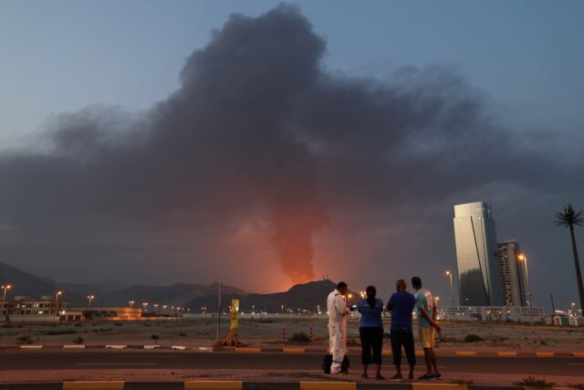
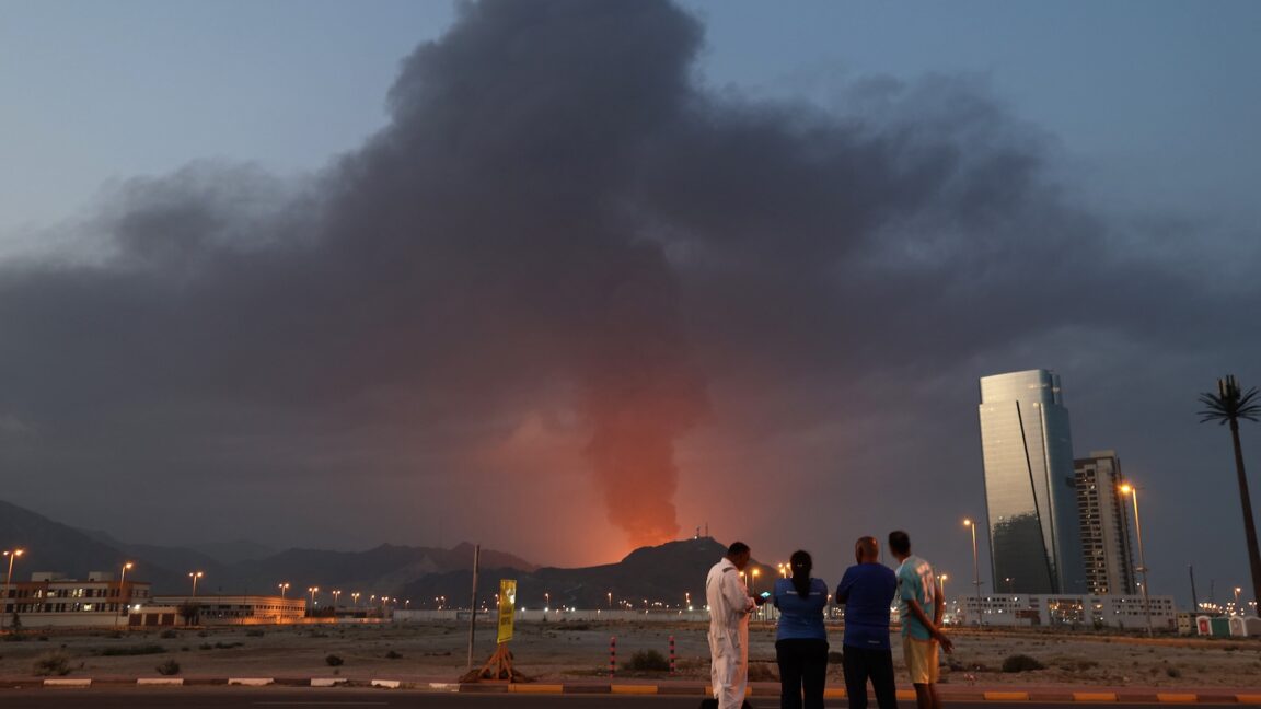
Planet Labs, one of the world's foremost commercial satellite imaging providers, has announced a temporary pause in releasing imagery from certain areas of the Middle East as a regional conflict continues to unfold. The company, which operates a vast network of Earth-observing satellites, has been praised for its role in revealing Iran's recent attacks on US military bases in the region.
Planet, which markets itself as a leader in delivering up-to-date satellite imagery to a diverse array of customers, including think tanks, NGOs, news media, and various industries, holds lucrative contracts to provide overhead surveillance data to the US military and intelligence agencies. Its decision to temporarily withhold some of this sensitive imagery comes as tensions in the region remain high following the recent escalation of hostilities.
The company's satellite fleet is designed to capture a view of every landmass on Earth at least once per day, making it a valuable resource for monitoring and analyzing global events. However, in the interest of national security and the safety of its personnel, Planet has opted to exercise caution by restricting the release of certain imagery from the Middle East until the situation stabilizes.
This move underscores the delicate balance that commercial satellite imaging firms must strike between their commitment to transparency and the need to respect geopolitical realities and security concerns. As a global leader in the field, Planet's decision to temporarily pause the sharing of its data highlights the sensitivity and potential implications of their work, particularly in regions where tensions are heightened.
Despite the temporary pause, Planet remains committed to its mission of providing valuable data and insights to its diverse customer base. The company's extensive network of satellites and its expertise in analyzing and interpreting satellite imagery continue to make it a vital resource for a wide range of stakeholders, from policymakers and military strategists to researchers and journalists.
As the situation in the Middle East evolves, the world will be watching to see how Planet and other satellite imaging firms navigate the complex interplay between transparency, national security, and their role in shaping our understanding of global events.
Source: Ars Technica


